
Graphical Location Verifier
The Graphical Location Verifier is an Editor tool that shows users the location of a system or station.
The Graphical Location Verifier for each station is available on individual Station pages. To access the Graphical Location Verifier:
- Click on Stations or on NTIA General Information in the navigation panel.
- Select one of the “Station #” subheadings. The GLV is also available under "Stage 2," "Stage 3," or "Stage 4."
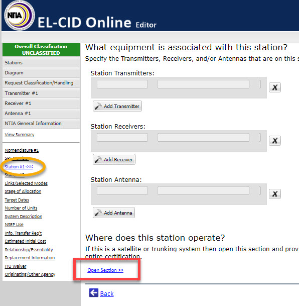
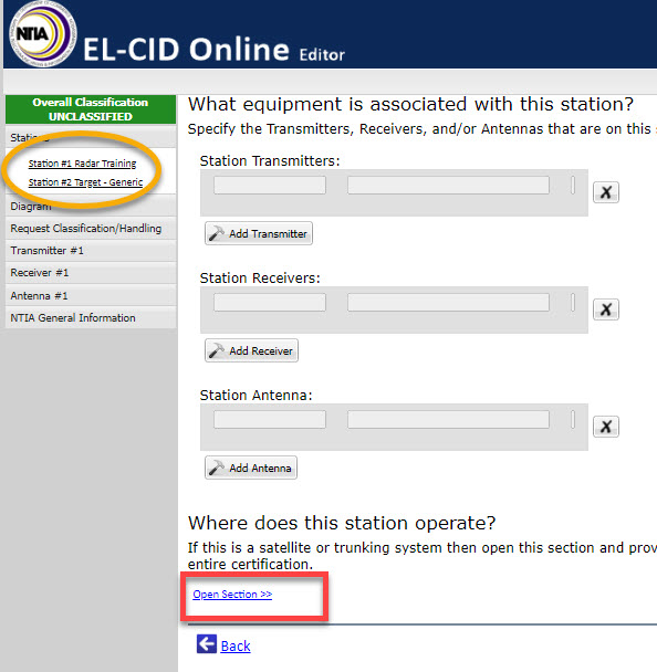
- Then select “Open Section” under the “Where does station operate?” Heading and a table will appear where users can check the location of the radio in their certification request.
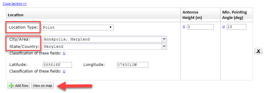
- Enter Location Type, City/Area and State/Country. The Location Type will affect the data fields available below.
- When a user selects a polygon or point location, the GLV will provide a list of approved locations.
- The GLV indicates whether or not the selected location is approved.
- Editor will automatically update all location-related parameters when the user chooses an approved location.
- Enter data in the data fields to establish the actual dimensions of the location.
- Click the “View on Map" button and a window will pop up showing the location.
When changing selected locations, users should click "Clear Points" to reset the number of points entered before calling the new polygon location.
If specific location data is not entered when the record is saved, the system will default to Name Only as the Location Type when saved. In this case, the record can be reopened and the location data corrected.